SOUTH ALPS
Mt Kita
Elevation
Difficulty
Time
3,193 m
Yamanashi prefecture
11-14 hours
Hirogawara trailhead
The second-highest peak with first-class views
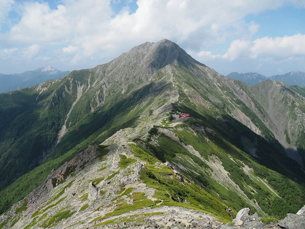
Mt Kita (Japanese: 北岳), Japan’s second‑highest mountain, is one of the great giants of the South Alps. It's a hyakumeizan* that rises in massive, rugged form above deep valleys and sharp ridgelines. Its height and position give it commanding views of Mt Fuji and the surrounding 3,000‑metre peaks, making it one of the most rewarding climbs in the country. It’s a mountain that demands time and effort, and most hikers spend at least one night on the mountain due to the long distance and significant elevation gain.
The standard approach begins at the Hirogawara trailhead. After stepping off the bus, hikers cross a bridge and immediately begin the steep ascent through dense forest. The climb is sustained and tiring, but after several hours the trees thin and the views open dramatically. The rocky summit of Mt. Kita comes into sight, along with its famous sheet‑rock face known as the Buttress, a huge, imposing wall that hints at the mountain’s scale.
From Kata‑no‑Koya hut, the final stretch to the summit is a steep, rocky push. The reward is immense with sweeping views across the South Alps, Mt. Fuji rising perfectly to the east, and the serrated ridges of Ainodake (間ノ岳) and other high peaks stretching away into the distance. For those with time and energy, it’s possible to descend from Kita’s summit and continue along the ridge toward Ainodake and beyond, entering one of Japan’s finest high‑mountain traverses.
Mt. Kita is one of my favourite hikes in Japan. The views are consistently magnificent, the scale of the mountain is unforgettable, and I’ve been lucky enough to encounter many raicho rock ptarmigans on its upper slopes. It’s a mountain that embodies the grandeur and sheer scale of the South Alps.
* 100 famous mountains of Japan
(All information here is based on personal observations and experiences. Check official sources before planning or starting any hikes.)