KYUSHU MOUNTAINS
Mt Tsurumi
Elevation
Difficulty
Time
1,375 m
Oita prefecture
3-4 hours
Higashiyama trailhead
Volcano overlooking Beppu
Mt Tsurumi (Japanese: 鶴見山) rises directly above Beppu and Yufuin as one of Oita’s most visible and symbolically important mountains. It's a broad, multi‑summited volcanic massif whose slopes form the eastern edge of the Kuju range. Tsurumi is a mountain of open ridges, fumaroles and wide grass slopes, shaped by long volcanic history and overlooking one of Japan’s most famous hot‑spring regions. Its upper reaches are broken and rugged, with rocky knobs, wind‑shaped shrubs and patches of bare earth where geothermal heat still influences the vegetation. Because of its position above Beppu, Mt Tsurumi has long been considered a mountain tied to the region’s spiritual and cultural identity. It's also the source of the water to the town's hot springs.
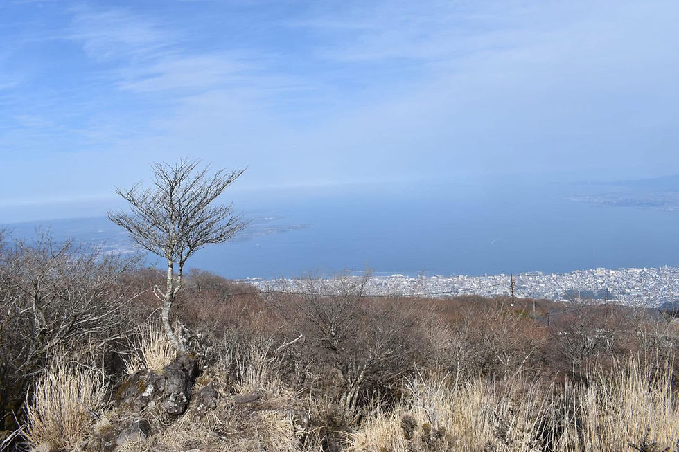
Naturally I avoided the ropeway and decided on the hike from Higashiyama. Starting from the lower slopes on the Beppu side, the trail climbs through mixed forest before emerging onto open volcanic grassland. The ascent is steady rather than steep, rising along broad ridges where views toward Beppu Bay appear early and often. As the trail gains height, the terrain becomes more rugged with rocky steps, narrow saddles, and exposed slopes that reveal the mountain’s volcanic structure. The route passes several minor outcrops before reaching the main summit area, a cluster of rocky points crowned by shrines and small lookout platforms.
From the summit, the panorama is immense. To the east, Beppu Bay curves in a bright arc; to the west, the Kuju range can be seen clearly.
(All information here is based on personal observations and experiences. Check official sources before planning or starting any hikes.)