KYUSHU MOUNTAINS
Mt Karakuni (Kirishima)
Elevation
Difficulty
Time
1,700 m
Kagoshima and Miyazaki prefectures
3.5-5 hours
Ebino Kogen trailhead
Stunning volcano in the south of Kyushu
Mt Karakuni (Japanese: 韓国岳) rises at the center of the Kirishima (霧島) mountains as the representative and highest peak of the range, a broad volcanic summit shaped by long cycles of eruption, uplift and erosion. It is a hyakumeizan* peak that stands above a landscape of crater lakes, lava domes and gently sloping volcanic cones that define the Kirishima–Kinkowan National Park. The mountain’s topography is one of wide ridges, open slopes and a huge summit crater roughly 900 meters across, a hallmark of its explosive volcanic past . From the top, the view reaches across the entire Kirishima massif including Mt Shinmoe (新燃岳), Mt Takachiho‑no‑Mine (高千穂峰) and sometimes even Sakurajima (桜島) and Kinkō Bay to the south.
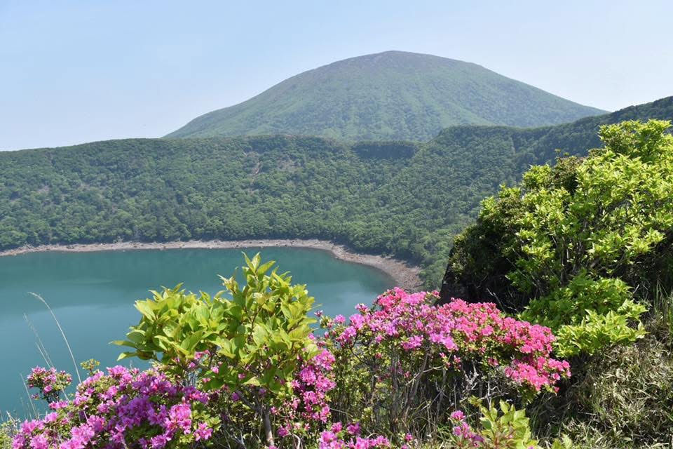
The hiking course most commonly used begins at the Ebino Eco‑Museum Center, a trailhead that provides current volcanic‑activity updates and route conditions. From here, the path crosses the Ebino Highland, passing the third station with wide views of the plateau, then climbing steadily toward the fifth station, where hikers can look down on Japan’s highest crater lake. The ascent is moderate but sustained, following open volcanic slopes that gradually steepen near the summit. I enjoyed this amazing mountain by hiking a full loop of around 10 km in length.
Because the Kirishima range remains volcanically active, access restrictions are common and occur at short notice. Eruptions and gas emissions around nearby Mt Shinmoe and Mt Io (硫黄山) frequently lead to trail closures, including sections of the ridge routes and even temporary no‑entry zones around Ebino Kōgen itself.
* 100 famous mountains of Japan
(All information here is based on personal observations and experiences. Check official sources before planning or starting any hikes.)